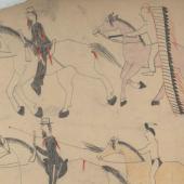
The Mystery Pass of the Northern Rockies
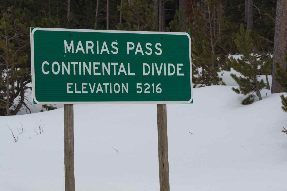
Pull up Montana’s 1864 territorial map and you’ll see Marias Pass prominently marked. It is the lowest route through the Rocky Mountains in the United States, cresting the Continental Divide a hair less a mile above sea level. It is an excellent railroad pass, with a gentle slope on the east side and a river-grade route down the west side. Other than a few shortcuts through river bends, no pesky and expensive tunnels are needed. The only problem is the map is wrong. Other than Native Americans and fur traders, no one knew where the rumored pass was located in 1864. And its location would not be found for nearly four decades. Under orders from a railroad president blindly pushing tracks across northern Montana toward the mountains, a lone surveyor would venture out in minus 40 degree weather and finally nail down its location.
Marias Pass is named after a river, which in turn is named after the cousin of Meriwether Lewis. Lewis, of Lewis and Clark fame, supposedly had a romantic interest in young Maria Wood. The apostrophe was soon purged from Maria’s River, giving the current name. On its way to the Pacific in 1805, the expedition ground to a halt at the confluence of the Marias and Missouri Rivers, at present-day Loma, Montana. The issue was deciding which river was which, since the two had equal flows. Finally they concluded the Marias—the muddiest of the two—was swollen by spring runoff, and the correct route was south. The decision led them to the headwaters of the Missouri. But also took them into the wilderness of Idaho, an abortive encounter with the River of No Return, and a struggle over Lost Trail Pass back into Montana.
On the return trip in 1806 the expedition split and Lewis slipped across the Continental Divide near Lincoln, Montana. He was headed back to the Marias River to see if it led to the beaver-rich muskeg country of Canada. It didn’t. The continental glacier of the Ice Age had bulldozed south to roughly the present U.S.-Canada border. The Hudson Bay Divide is a barely noticeable hill extending east from St. Mary in Glacier National Park. But it is substantial enough to leave the Missouri and other rivers no choice but to flow toward the Mississippi. At first the Marias River headed promisingly north, but it soon turned west. Lewis gave up just past Cut Bank, and headed back toward the Missouri, and a resulting race for his life after a fatal encounter with Blackfeet. But, at what he called Camp Disappointment, Lewis had been looking directly at Marias Pass.
It would remain unexplored for another 84 years. The pass was largely ignored until 1853, when Isaac Stevens, the territorial governor of Washington, headed across the northwest to slap a series of treaties on the local tribes. The hasty treaties, mostly aimed at securing railroad routes, would come back to haunt both sides in future generations. But, as part of his efforts, he launched expeditions to locate potential routes across the Rockies and Cascades. Abiel Tinkham was assigned to find the pass. Everyone knew it was somewhere between the Middle Fork of the Flathead River and the Two Medicine River, about 50 miles south of the Canadian border.
Tinkham headed up the Middle Fork and turned west at Nyack up a promising valley. Glacier-carved terrain is deceiving. Wide, flat-bottomed valleys suddenly end where the freeze-melt cycle had chewed into a headwall, dropping the debris on a conveyor belt of moving ice. The promising valley between Razoredge and Tinkham mountains in Glacier National Park is no exception. Tinkham discovered that when he found himself atop a narrow divide now known as Pitamakan Pass. The 7,861-foot crossing was often just wide enough for a horse, and wholly impractical for wagons, he reported.
Marias Pass wasn’t a secret to locals, such as the McDonald family of the Hudson’s Bay Company post at St. Ignatius, Montana. However, Native Americans knew lower wasn’t always better. Just across the Canadian border is Crowsnest Pass, a measly 4,453 feet high. But it was largely ignored because of fallen timber in the dense forest. The Kootenais had nearly as many names for variations of deadfalls as the Eskimos do for snow. Tribal trails to buffalo country on the Great Plains were notorious for their grueling ascents over mountain ridges.
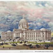
The pass remained officially undiscovered until 1889, when the Canadian James Hill was pushing his St. Paul, Minneapolis and Manitoba Railway west across North Dakota and Montana. He had reached Great Falls, with a spur to Butte. But Hill had more ambitious plans—a competitor to the Northern Pacific that would extend to Seattle. It would be called the Great Northern Railway, copying the name of a famous predecessor in England. Hill wanted a more direct route than Rogers Pass, near Lincoln, Montana. The pass that Tinkham had found would require a two-and-a-half-mile tunnel. It was the rumored Marias Pass that stood out.
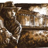
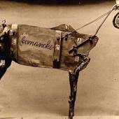
Construction west would start in the following spring, and it was already November of 1889. Hill pushed his chief engineer, E. H. Beckler, for instant results. Beckler telegraphed for John Stevens, a self-taught surveyor. Stevens traveled by rail to Havre, and then 160 miles cross country to Browning. There he discovered none of the Blackfeet would guide him. The pass had evil spirits linked to a smallpox epidemic, they said. So, with a supposed whiskey bribe, he recruited a reluctant Flathead named Coonsah and headed into the mountains with a wagon, mule, saddle horse and snowshoes.
Coonsah’s courage and tolerance for the bitter cold ran out once in the mountains, at a site known as False Summit. Stevens continued on five miles through the minus 40-degree cold to the actual summit. A short distance later he came to Bear Creek, where quick work with a hatchet proved it flowed west—the true test of the Continental Divide. His barometer put the height at 5,000 feet. Afraid to rest in the subzero cold, he walked in a circle until daylight. According to accounts, he felt even taking time to gather wood for fire was too risky. It was December 11, 1889.
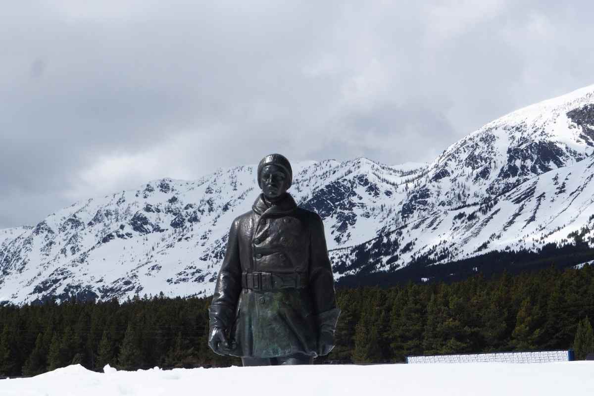
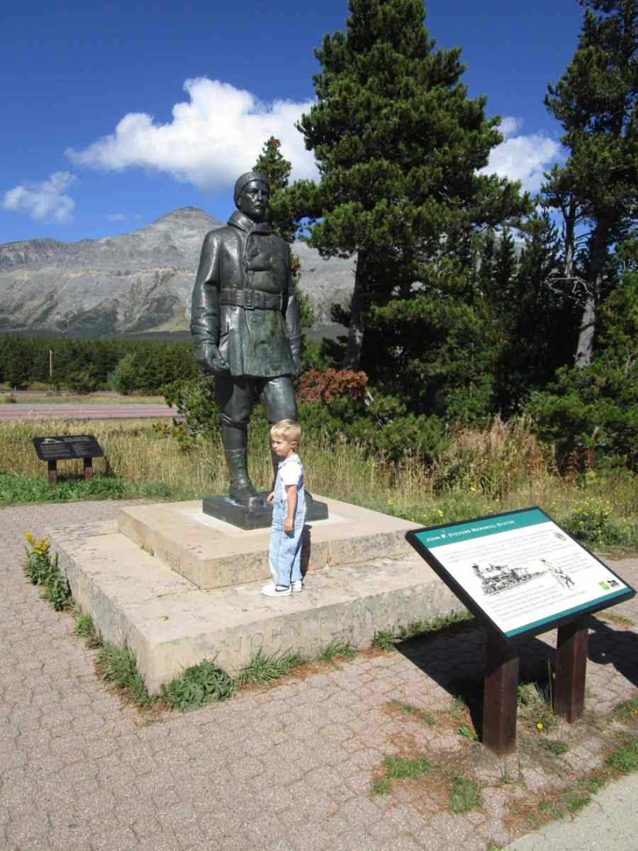
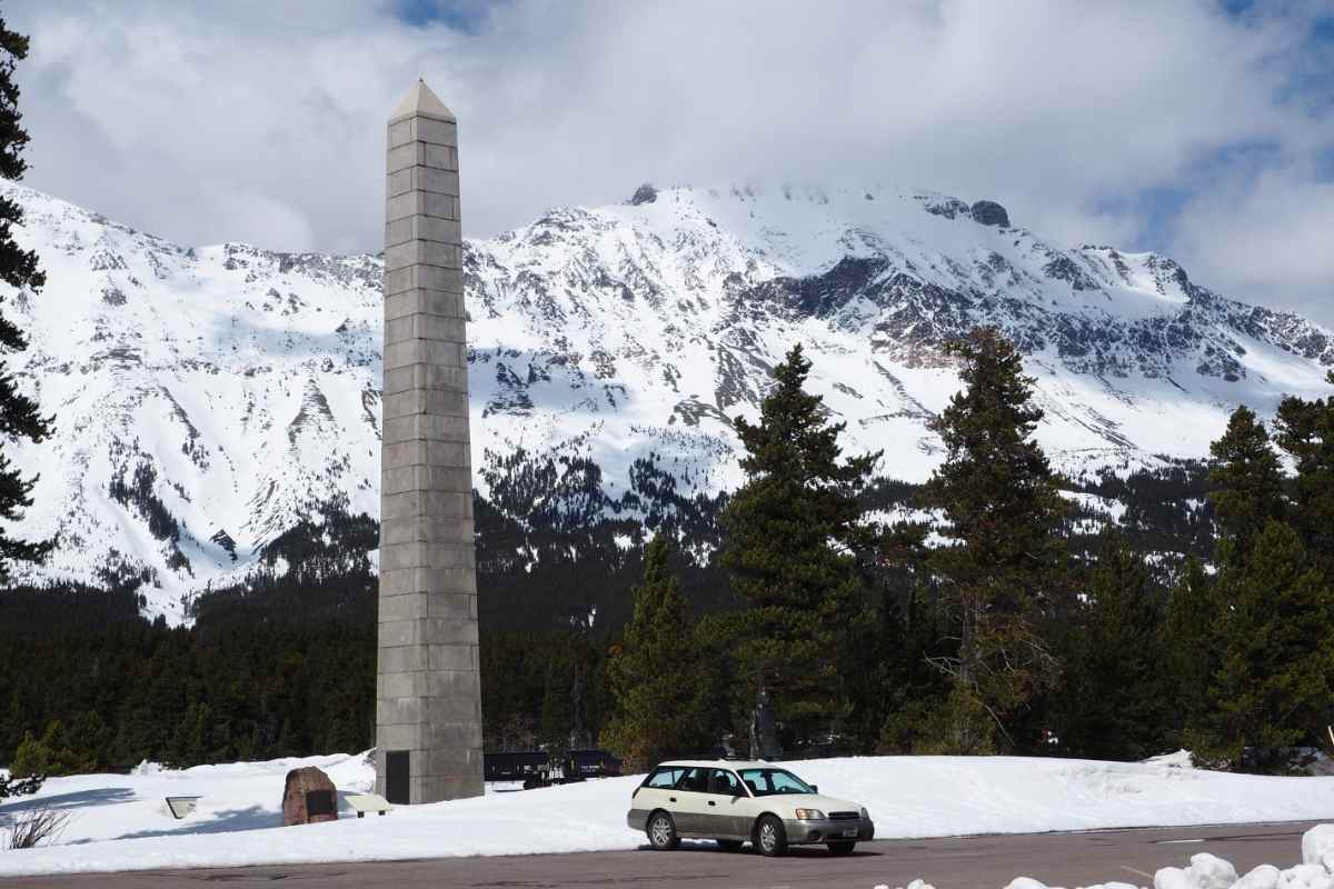
Hill was overjoyed with the news. By the end of 1891 the railroad reached Kalispell. Stevens became chief engineer for the Great Northern, discovered Stevens Pass through the Cascade Mountains and went on to build the Panama Canal and oversee railroads in Russia during World War I. The railroad eventually commissioned a statue of Stevens, and unveiled it in a ceremony on the summit in July, 1925. There were some who felt the courage of Stevens’s trek in 1889 was overstated. Slippery Bill, a famed local resident, supposedly spoke up at the dedication and said Stevens could have spent the night in his nearby cabin. The summit is marked by an obelisk that tops out exactly one mile above sea level. For years the obelisk was in the middle of the highway, before it was gently moved to an adjoining park and rest area.
Enjoyed this story?
Montana has more layers than most people ever see.
Distinctly Montana finds them, four times a year. Subscribe and get every issue.


- Reply
Permalink