
Searching for Initial Points
Vince Long and I had been teachers at Billings Senior High School for nine years when we made the hike to the principal meridian of Montana, the state's initial point. He taught technology classes, and I taught English classes. We both coached the cross-country team. One day, he was reading Montana history and found a reference to initial points. He wanted to visit the Montana initial point.
In June 2005, we went to a race in Missoula, and on the way back, we turned south off I-90 at Three Forks. While I drove, Vince used my handheld GPS unit to direct us along a gravel country road to the base of the hill. We hiked up the hill in twenty minutes and found the U.S. Land Office survey marker on the stone at the top.
Until I saw that marker, I was sure we were hiking on the wrong hill. It seemed too small, too insignificant to be the point from which the entire state of Montana was surveyed and recorded. But the small hill, just a couple miles south of the tiny community of Willow Creek, was indeed the initial point for the fourth largest state in the country. We laughed about the improbability of that hill being such an important site.
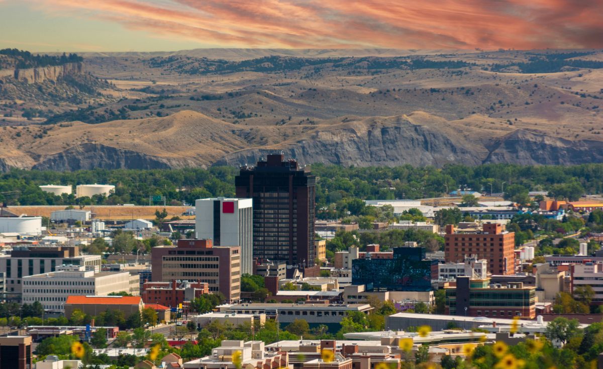
Looking east, a fence line extended from the hill straight ahead for miles. We didn't know it at the time, but we later learned that the fence line, the base line for the Montana Initial Point, continued east for more than 150 miles, becoming Grand Avenue in Billings, the street where we went to work every day at Billings Senior High School.
In the distance were dozens of peaks more prominent than this nondescript bump on the high plains, lining the horizon. Why here? Why not use one of those more significant mountains?
In mapping out an expanding country, geographers could have used one initial point, perhaps in New York or Delaware, the first state, and measured every other piece of land from there. That would have been easy using today's technology, but in the late 1700s and early 1800s, when the country was heading west at record speed, the need to mark land and identify holdings outpaced the survey crews.
Private claims to land in the thirteen colonies were based on metes and bounds, the system used in England. The first person to claim land in an area usually picked the best farmland and wrote up a description. He might define his land as going from a river to a large rock on a hill, then to a big tree, and finally back to the river. There was generally nothing square or neat about it, and the next person along would pick land and write an equally odd-shaped, complicated description.
By the time the idea to use a grid system of rectangles, often credited to Thomas Jefferson, came about as part of the Land Ordinance of 1785, land in the original states was claimed and recorded. The ordinance created the Public Lands Survey System (PLSS) to plat any land claims west of the colonies.

To start this program, surveyors selected a Point of Beginning, the spot where Pennsylvania, West Virginia and Ohio meet on the north shore of the Ohio River. From that initial point, cadastral survey crews set a base line running east and west and a meridian running north and south. The intersection of those two lines is called the initial point. With base lines and meridians established, they could then survey and record lands moving west, making public lands ready for sale to private owners.
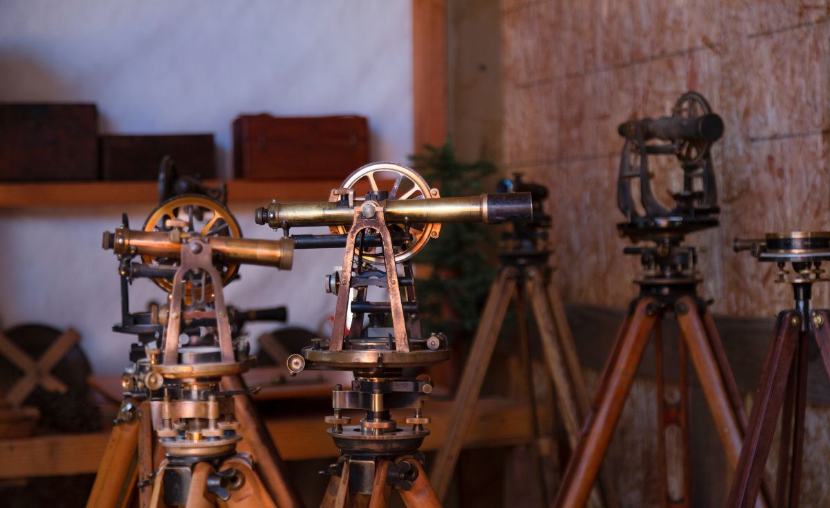
Survey crews at that time used a compass and a sixty-six-foot measuring chain—eighty chains to a mile. The chains were heavy and difficult to handle. The crew had to walk the chain out to its full length, trying to avoid skewing the measurement by too much up and down or winding through trees, then record the location and move on. They had to battle difficult terrain, heat, cold, rain, snow, and sometimes, Indian tribes who opposed the encroachment onto their lands. It was a time-consuming, challenging, and at times, dangerous process.
The Bureau of Land Management, in a section on their website called Cadastral History, notes "Over the past two centuries, almost 1.5 billion acres have been surveyed into townships and sections and monumented. This represents the greatest land surveying project ever undertaken, requiring vast human energy for carrying heavy equipment, dragging chains, cutting trails, climbing mountains, placing monuments, digging pits, and blazing 'witness' trees."
As could be expected, errors were made, and the government soon realized that an endless number of complaints could arise from these mistakes. The rule became that the results of the surveys were final, even if wrong.
Settlers were pushing ahead, and the surveys needed to keep up. Using the Point of Beginning, the initial point in Ohio, would take too long, too many years to get to the land people wanted to claim. More initial points were needed, so survey crews, following instructions from the General Land Office, jumped ahead to new lands and set up initial points moving west. Eventually thirty-two initial points were established in the contiguous states.
A network of meridians and base lines crossed the country, and in fact, many cities and towns throughout states west of the original thirteen have roads or highways that are, to this day, called Meridian Avenue, Base Line Road, or something similar.
Montana became a territory in 1864. Soon after, Solomon Meredith, a brigadier general in the Civil War, was appointed surveyor general of Montana Territory. He laid out the townsites of Fort Benton and Deer Lodge, and in 1865 was commissioned to create the first map of the territory.
In May 1867, the General Land Office sent Meredith instructions about surveying the territory so settlers could move in. In their instructions to Meredith, the General Land Office wrote, "Your first duty will be to determine the initial point of surveys, or the point for the Principal Base with the Principal Meridian line to govern public surveys in Montana. It is desired that Beaver Head Rock, a remarkable landmark overhanging the river of that name be selected, unless a more prominent and suitable point exists." The instructions also told Meredith to extend the lines of public surveys to the mining regions and to survey the claims in strict conformity to the law.
Meredith brought with him Benjamin F. Marsh, a mathematics professor from Indiana, and Colonel Walter W. de Lacy, a draftsman who had studied surveying at West Point Academy.
The three of them set out in late July 1867 for Beaver Head Rock. When they arrived there, they found a serious problem for their intended survey.
In a letter to the General Land Office, de Lacy explained that from the top of Beaver Head Rock, the group could see only rugged mountains in all four directions, conditions that would make conducting a survey difficult or impossible. They checked another vantage point, but reported similar problems with facing major mountain ranges.
On their way to Beaver Head Rock, they had noted an area three miles south of the Jefferson River that they believed had good potential as an initial point. They traveled back to that area and climbed a hill some two hundred feet high. Convinced they had found the right location, they piled rocks into a monument marking the spot and recorded the latitude.
In his report, de Lacy explained, "I would here remark that I have been in this Territory since 1859, when I came as Civil engineer with Lieutenant Mullan's Military Wagon Road Expedition, and that I have since visited and explored many parts of the territory from the Bitter Root to the Big Horn River, and I can conscientiously say that there is no other part of the territory where the same uninterrupted length of the Meridian and Base Line could have been secured."
It was the ideal location from which to measure the vast land that twenty-two years later, in 1889, would become Montana, the Big Sky State. The confusion Vince and I had felt when we first hiked to that point now made absolute sense.
When I travel by air, I try to get a window seat. I enjoy reading and occasionally looking out to see the changing landscape. I've often looked down and seen an isolated farm or a small town with several houses, a main street, a baseball field, and a water tower, and wondered what life was like for the people who had chosen that spot or had been chosen by that spot to live there.
Out the airplane window, I've also noticed the highways dotted with cars and trucks and the network of roads crisscrossing the land. From the air, it is easy to see the rectangles, the results of the PLSS, particularly over the Great Plains: everything laid out in miles, neatly divided into townships and sections, invisible, arbitrary lines that converge and drift apart even as they quietly dictate the boundaries of the world below.




















Leave a Comment Here