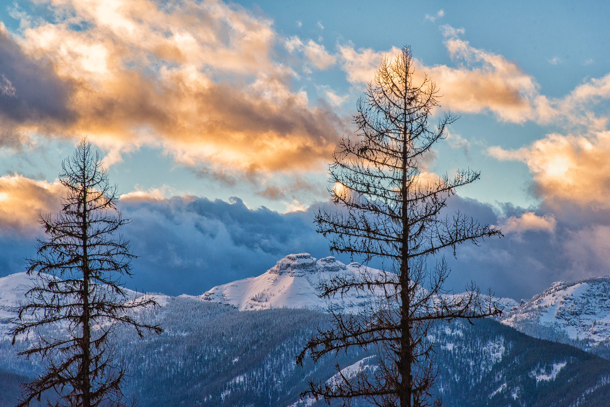
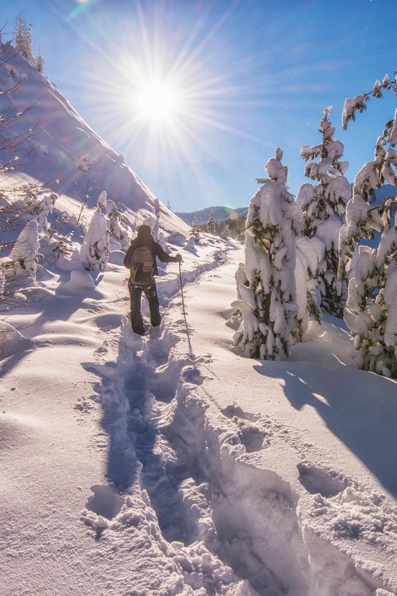
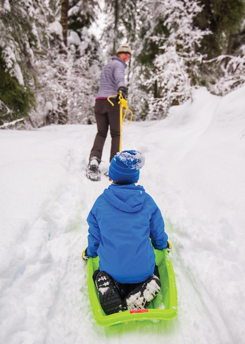
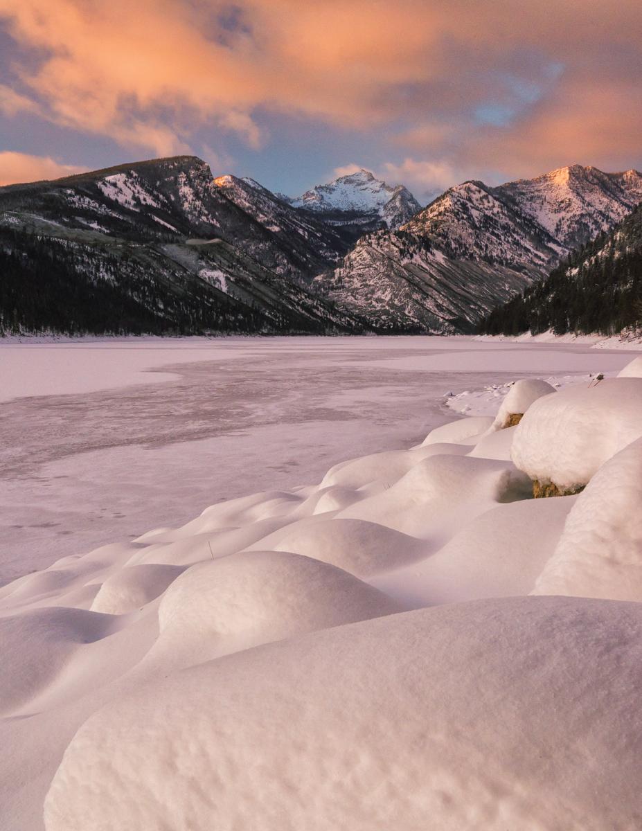
5 Snowshoe Trails
Snowshoe technology has changed significantly from when trappers strapped on bentwood-and-leather contraptions the length of skis. But the simple technique and its attendant rewards have not. In short, if you can walk you can snowshoe. And if you can walk it, you can snowshoe it. That said, some of Montana’s hiking trails lend themselves especially well to winter travel, with easy trailhead access, scenery that a coat of snow suits well, and rewards spread over the length of the trail to accommodate the slower pace and shorter days of snow travel. Strap in for five of the state’s best snowshoe treks, where the dramatic backdrops also remain unchanged from those wood-and-leather days.
1. Ross Creek Cedars Scenic Area
Tucked in a moisture-trapping creek drainage high above the Bull River valley on the east side of the Scotchman Peaks Proposed Wilderness Area in northwest Montana’s Cabinet Mountains, the Ross Creek Cedars Scenic Area shelters some truly astonishing tree specimens. A 0.9-mile interpretive trail winds around and under some of Montana’s largest, oldest trees. In the winter, snowshoe the 3-mile access road to access the cathedral-quiet grove. Stand in awe of snow-covered cedars that attained old-growth status well before Columbus spied the Americas. A viewpoint halfway up the road caps continuous climbing with views of Snowshoe and A Peaks and the Ibex Creek drainage of the Cabinet Mountains Wilderness. Once in the grove, note the vast temperature difference compared to the surrounding area; in deep winter, it can be literally breathtaking. Many of the cedars have heart rot typical of this species, the hollowed-out hulks providing homes for numerous birds and mammals.

Driving directions: From Troy, drive east 2 miles on US 2. Turn right on MT 56, and drive 18 miles to Ross Creek Road (FS Road 398). Turn right and drive 1 mile to the winter parking area.
2. Marion Lake
The Flathead Range rises some four-thousand vertical feet above the Middle Fork Flathead River, which forms the southern boundary of Glacier National Park. Although separated from the park by US 2, this landscape, here protected as the Great Bear Wilderness, part of the massive Bob Marshall Wilderness Complex, bears much in complex with its northern neighbor: it’s a lush, brushy landscape of green, glaciated valleys, the abundant snowfall and vegetation constantly threatening to swallow the steep trails that provide access. Fortunately, in the wintertime that deep snow damps down the brush, allowing for snowy mountain treks just minutes from the highway. Popular with Nordic skiers, the 4-mile round trip snowshoe to Marion Lake accesses a quiet lake in the Great Bear Wilderness. The trail, which follows Marion Creek upstream, proceeds steeply for much of its length. But the views from the spruce-lined lake inspire. A nameless, nearly eight-thousand-foot peak rises above the head of the lake, its tiered amphitheater of almost perfectly circular sheets of rock an excellent example of rock exfoliation. To the north, orderly avalanche slopes descend all the way to the water.
Driving directions: From West Glacier, drive east on US 2 for 26.2 miles to Dickey Creek Road. Turn right (south), cross the railroad tracks, then bear left onto Essex Road (FR 1640). Continue for 2.5 miles to the trailhead on the right. If you reach a small bridge, you’ve gone about 100 yards too far. A small shoulder pullout accommodates two vehicles.
3. Lake Como Loop
Named by Jesuit missionary Father Ravalli after the Lake Como in his home country of Italy, Lake Como occupies a vast glacial basin at the feet of the Como Peaks, some of the most imposing of the Bitterroots. Boats crowd Lake Como in mid-summer, but winter snows quiet this vast, dammed lake, one of the few such vehicle-accessible bodies of water in the Bitterroots. A nearly 7-mile loop encircles the lake, its grade nearly level as it traces a contour through the trees well above shoreline. There’s no need to commit to the entire loop, though; from the day-use parking area on the north side of the lake, the trail packs its best views within the first 3 miles: Through gaps in the timber admire the Alps-like granite battlements of the Como Peaks, their east-facing couloirs often holding snow well into summer.
Driving directions: From Hamilton, head south on US 93 for 12 miles (between mile markers 34 and 35) to Lake Como Road. Turn right (west) and drive 2.9 miles to Lick Creek Road (FR 5621). Turn right, following signs for the day-use area, 0.7 miles to the campground entrance. Turn left and then immediately right onto FR 1111 and follow it to its end at the trailhead parking area just before Three Frogs campground.
4. Hyalite Creek Canyon
Hyalite Creek Canyon just outside Bozeman occupies a vast U-shaped defile overlooked by the glacier-crazed peaks of the Gallatin Range. In the summer, easy access to the high country means the trails teem with two-wheeled recreationists in addition to the hiking hordes. In the winter, visitors on foot have it all to themselves, all the better to enjoy the red rock canyon. It’s 5.5 miles to Hyalite Lake at creek grade, but snowshoers need not go all the way to enjoy the scenery: 11 ice-encased cascades over the trail’s length all make good turnaround spots, the closest of which, Grotto Falls, making for an easy 2.4-mile trek. The trail is popular with ice climbers, too; snowshoers may have the opportunity to watch crampon-wearing climbers carefully ascend the frozen, fluted sculptures of the waterfalls.

Driving directions: From Main Street in Bozeman, drive south on 19th Avenue for 7 miles, then turn left on Hyalite Canyon Road. Continue 11.5 miles and, just after crossing to the east side of Hyalite Reservoir, turn right at the junction. Continue 1.9 miles to the Hyalite Creek trailhead and large parking area.
5. Ousel Falls
Powderhounds will surely find it hard to turn off the road to Big Sky Resort, but, while the skiing masses race to make first chair there, snowshoers will find their own low-key thrills just outside the Big Sky Town Center. The 1.8-mile round trip snowshoe to Ousel Falls traces the South Fork of the West Fork Gallatin River upstream between thickly timbered snow-sheltering canyon walls to an impressive, ice-encrusted cascades. If the water has not yet frozen, snowshoers may spy American dippers—the waterfall’s namesake—flitting among the red river rock. A sturdy footbridge across the South Fork a quarter mile from the trailhead provides good views up- and downstream. Afterward, be sure to stop at nearby Lone Mountain Ranch for an après-snowshoe drink in the saloon.
Driving directions: From the Big Sky Town Center, drive south on Ousel Falls Road for 1.8 miles to the large parking area on the left.


Leave a Comment Here