Get to Know Ravalli County
To adapt Roberta Carkeek Cheney’s phrase, Ravalli County is the nose on the face of Montana. The Montana State legislature took the southern extent of Missoula County and created Ravalli County in 1893. Today the county covers roughly 2,400 square miles, the same as at its creation. The county’s borders have never changed. In terms of land area, Ravalli County is 26th of Montana’s 56 counties. The 2024 census estimate counts just over 48,000 people in the county which puts its rank at 7th.
The county takes its name from Father Anthony Ravalli, a Jesuit priest who first came to the area in 1854 and died in 1884. He is buried in Saint Mary’s cemetery in Stevensville. The largest and only city in the county is Hamilton which serves as county seat. The county number is 13.
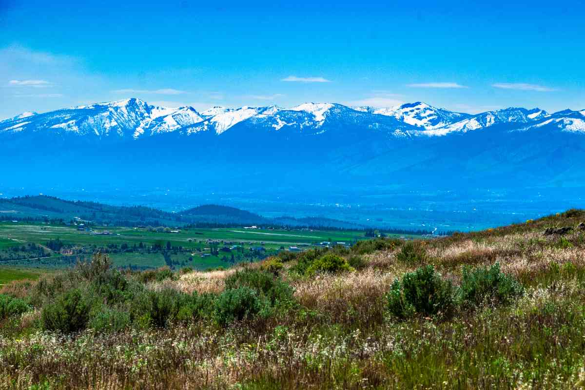
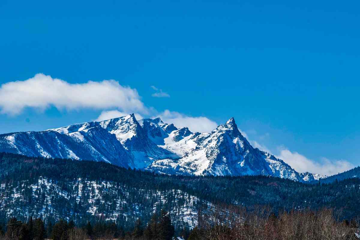
The county is bisected by the Bitterroot River which has its headwaters in the Sapphire Mountains (East Fork) and the Bitterroot Mountains (West Fork). The two forks converge near the community of Conner and from that point, the Bitterroot flows north for over eighty miles to its confluence with the Clark Fork just west of Missoula. As most of the river’s length is in Ravalli County, the area is most commonly referred to as "The Bitterroot." And as the river flows south to north, old timers go "up" (south) when travelling from Missoula to Hamilton and beyond, or "down" (north) when going to Missoula. They will be polite, but look at you funny if you think that up means north.
It is beyond the scope of this article to talk about pre-European visits to the Bitterroot Valley. Suffice it to say that on September 4th, 1805, Lewis and Clark and their Corps of Discovery crossed Lost Trail Pass and entered the Bitterroot from the south. At Ross Hole near present day Sula, they encountered a band of Salish Indians who were headed to the southeast to hunt for bison. This band of Salish had lived in the Bitterroot for who knows how many generations. The meeting between the Corps of Discovery and the Salish was friendly and the Corps were able to purchase horses and gather information to help them with their trek further west to the Pacific.
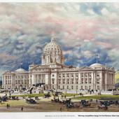
In 1912 the state of Montana commissioned artist Charlie Russell to paint a mural destined to hang in the chambers of the House of Representatives. After much back and forth between Governor Norris and artist Russell, the mural was completed and still hangs today in the capitol building. At 12 feet high by 25 feet wide, "Lewis and Clark Meeting Indians at Ross Hole" is the largest painting Russell ever created. While Russell took liberties with the look of the Bitterroot Mountains in the background, in his inimitable style he placed the Salish front and center with Lewis and Clark and the Corps of Discovery relegated to the middle ground on the right side of the painting.
Two communities roughly 250 miles apart (400 by highway) claim to be "where Montana began." Fort Benton dates from 1845 (as Fort Lewis), Stevensville from 1841 (the original St. Mary’s Mission, 1850 as Fort Owen). I feel obliged to point out that in the 1840s, there was no Montana. Indeed, as the Louisiana Purchase extended only to the Continental Divide, Fort Benton was established in Nebraska Territory and Stevensville in Oregon Country. Only the creation of Idaho Territory in 1863 brought the two fledgling communities into a single territorial jurisdiction.
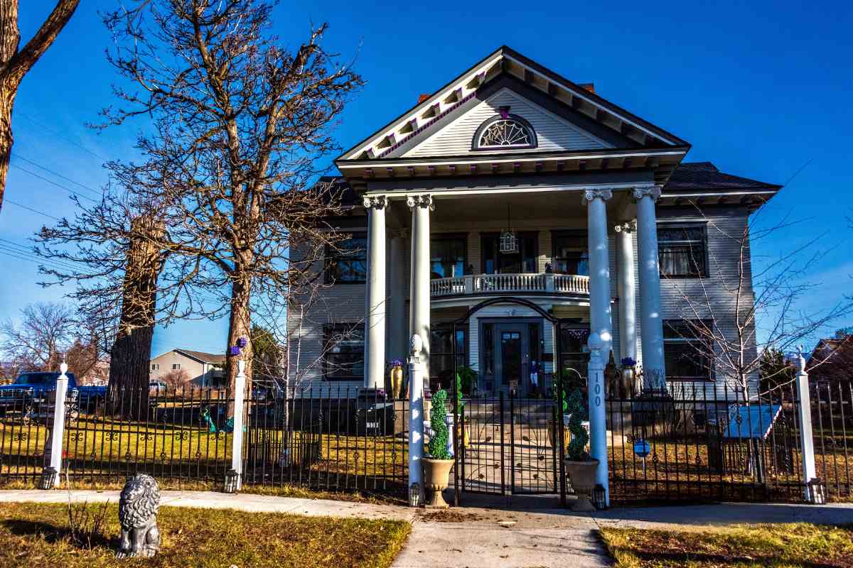
As noted above, Hamilton is the only city in Ravalli County. Marcus Daly, one of Butte’s Copper Kings, needed timber and horses for his mines. Crossing the Sapphire Mountains, he found plenty of timber and space to raise horses both for work and for sport. In 1890, he charged one of his lieutenants, James Hamilton, to plot a town, then named the town for him. In addition to his stock farm, Daly built himself a 50-room "summer home" on the east side of the new town. Today, the Daly Mansion is one of the cultural treasures to visit in the Bitterroot Valley and hosts many community events throughout the year.
Hamilton is also home to the Bitterroot Public Library, built in 1916 as one of 17 Carnegie Libraries in Montana. The Rocky Mountain Laboratories’ campus dates from 1928, but the research behind the labs began in 1900 as scientists sought the reason for fatalities in the valley which eventually proved to be tick-borne Rocky Mountain Spotted Fever. I still remember annual tick shots suffered in my childhood, and the anger/relief when I returned to the Bitterroot in 1975 at being told that the shots were no longer being used. "We found they didn’t really do anything," I was told.
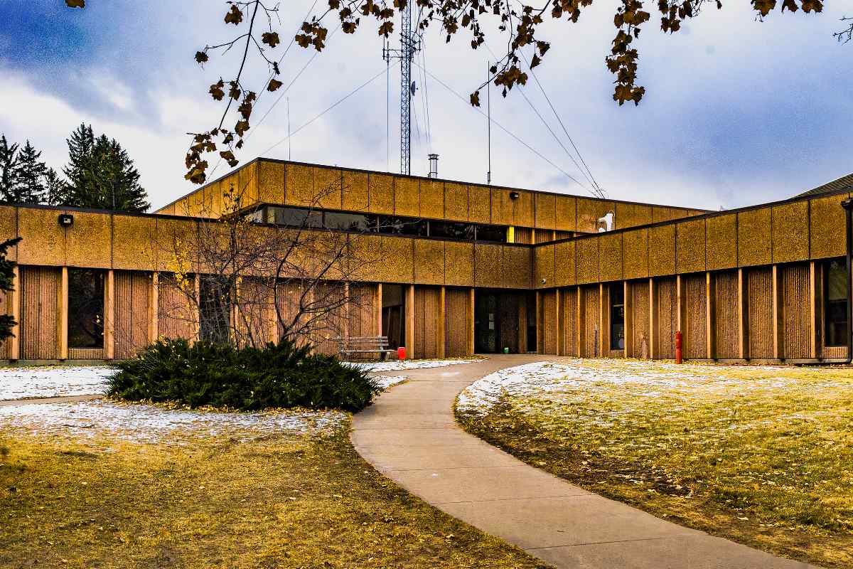
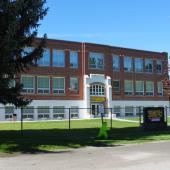
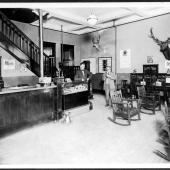
Bitterroot College, a branch of the University of Montana, offers associate degrees which can transfer to four-year institutions. Hamilton is also the headquarters of the Bitterroot National Forest. The Ravalli County Museum is housed in the original county courthouse downtown, and until it closed in March 2022, Hamilton’s K-Mart was the last K-Mart open in Montana, indeed in the western U.S.
Hamilton may be the only incorporated city in Ravalli County, but there are three incorporated towns and numerous "census designated places" which would appear to be towns to anyone passing through. Stevensville may or may not be "where Montana began," but today it is a thriving community of over 2,000 residents. Located east of the river, it is one of the few towns in the county not directly on US Highway 93. It is home to one of the two Montana State Parks in Ravalli County, Fort Owen, and of the 92 locations in the county listed on the National Register of Historic Places, 48 are in or near Stevensville.
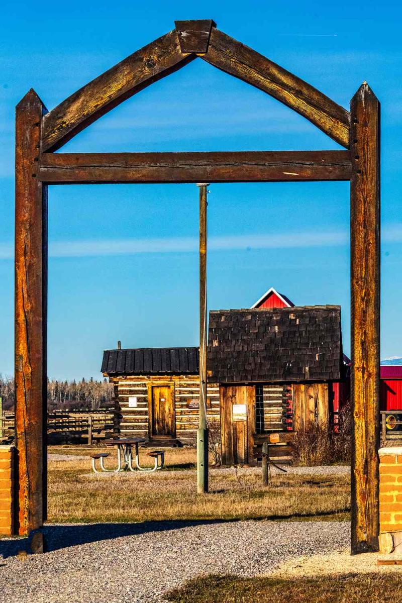
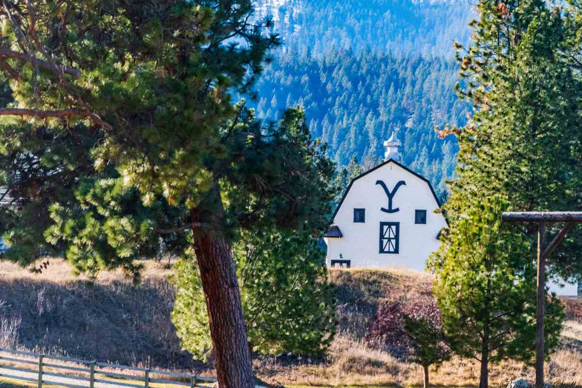
Darby, seventeen miles south of Hamilton, looks like an Old West town with its wooden store façades and hitching rails along the street. Darby dates from 1889, the same year Montana became a state. The small town has five city parks, and an extensive trail system. It is also the mailing address for the Chief Joseph Ranch. Built on an apple orchard in the early 20th century, the ranch has gone through several owners in the past hundred years and now serves as a private home with guest cabins and as the site of the Dutton Ranch in Taylor Sheridan’s television drama Yellowstone.
The newest town in the county is Pinesdale. Founded in 1960 and incorporated in 1980, Pinesdale is home to a polygamous Mormon sect known as the AUB. Located in the foothills of the Bitterroot Range west of US Highway 93’s Woodside Crossing, the town site was chosen for its remoteness and privacy.
Six more communities, all unincorporated "census designated places," are found in the Bitterroot Valley. Florence lies just south of the Missoula County line. The Florence School District includes students in Missoula County as well as Ravalli County. Sixteen miles south of Florence by US Highway 93 lies Victor, named for Salish Chief Victor, who as a youth met Lewis and Clark at Ross’s Hole. Today’s Victor is home to Hamilton House, an authentic Scottish pub serving the best fish and chips I have ever had. And if you are an aficionado of Scotch whiskey, the bar has one of the widest selections this side of Scotland.
A few miles further south and on the east side of the river, you’ll find the heart of the valley, Corvallis. With a 2020 population of 1,125, Corvallis is the third most populous community in Ravalli County—larger than both Darby and Pinesdale. Right in the center of Corvallis is the Brooks Hotel, housed in an early 20th century Sears-Roebuck kit house.
The remaining three communities are all south of Hamilton, and are so small you might drive through them without even noticing them. Charlo’s Heights is halfway between Hamilton and Darby. Conner is south of Darby where the east and west forks of the Bitterroot converge, and Sula, population 37, lies at the point where the East Fork meets Highway 93 and turns north.
Ravalli County is a four-season recreation paradise for residents and visitors alike. At the southern end of the county, Lost Trail Powder Mountain offers five chair lifts and three rope tows opening up sixty-nine trails over 1,800 acres of mountain slope.
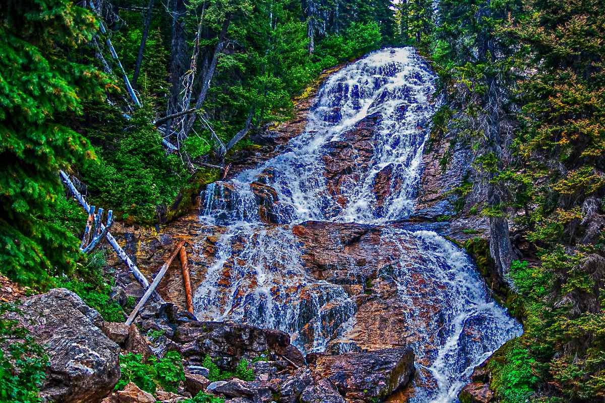
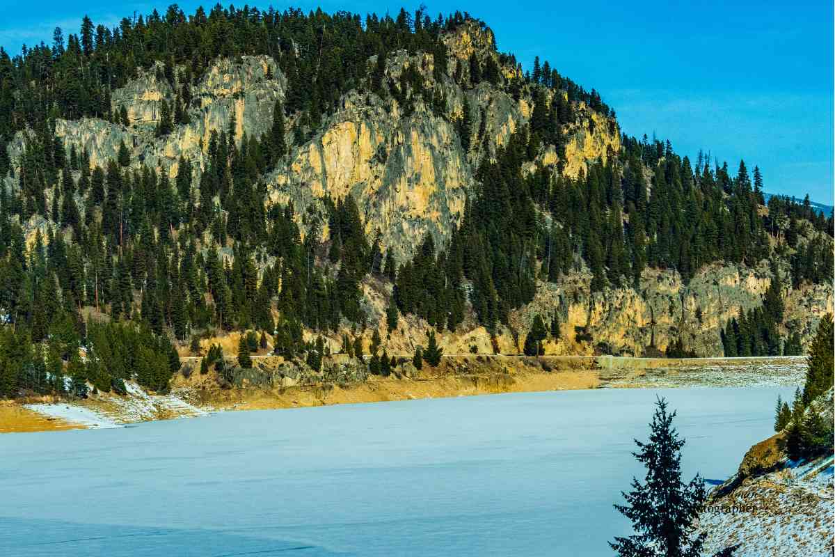
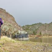
Bitterroot Cross Country Ski Club maintains 13 miles of ski trails and 20 miles of multi-use trails for year-round recreation. They do the same for 16 miles of trails at Lake Como. The upper reaches of both the Bitterroot and Sapphire mountains hold almost 100 small lakes accessible to hikers and horse-back riders. Most are in wilderness areas so are not available by motorized transport. The county’s two largest bodies of water are Painted Rocks Reservoir, a state park on the West Fork of the Bitterroot twenty-six miles south of Conner, and Lake Como, a dammed reservoir four miles west of Highway 93 south of Hamilton. Both offer all water-borne activities, hiking and picnicking. Painted Rocks has RV and tent camping sites, but Lake Como is day use only.
Hamilton and Stevensville both have public golf courses. Stevensville’s Whitetail Golf Course lies along the east bank of the Bitterroot within the Lee Metcalf Wildlife Refuge, a 2,800-acre riparian and wetland refuge just two miles north of Stevensville.
And of course, the heart of it all is the Bitterroot River which attracts fishers, boaters and swimmers as it flows through Ravalli County toward its confluence with the Clark Fork. Montana’s Department of Fish, Wildlife and Parks has thirteen Fishing Access Sites on the river in Ravalli County, many with boat ramps, some with camp sites.
In short, you’re never at a loss for something to do in Ravalli County and a visit is well worth your time. For another look at the county’s history, be sure to read the article on Frank Lloyd Wright’s work in the county, elsewhere in this issue.


Leave a Comment Here