Highway 200: A Damn "Good Road"
End to end, Highway 200 stretches 703.7 miles and traces a line straight through the center of Montana's soul. It is the longest continuous U.S. highway in the state, edging out U.S. 2 and Interstate 90/94 by slight margins. Its centrist route, from Heron in the west to Fairview in the east, makes it a "blue highways" candidate—one of those small, scenic back roads that unveils countless glimpses of the true Montana character. Except for some brief intermingling with more prominent highways through Missoula and Great Falls, the road is free to march its endless two-lane trek across the state's landscape. It more than matches the fabled north-south Highway 89, that runs from Canada to Mexico, in Montana scenery and culture.
As Montana's response to the national "Good Roads" movement of the 1920s, Highway 200 gained popularity, along with Highway 89, as the border-to-border travel corridor for tourists bent on exploring the state by motor vehicles. The aim of the Good Roads initiative was to connect isolated rural communities and promote social and economic vitality. In 1921, the Montana Highway Commission began construction of the "Central Montana Highway" using Rogers Pass (elevation 5,610) as the route to cross the Continental Divide. By 1938, the transmountain link had been finished between Simms and Bonner. "High speed gravel roads" now opened the way for locals and visitors to join east to west. Highway 200 had been born.
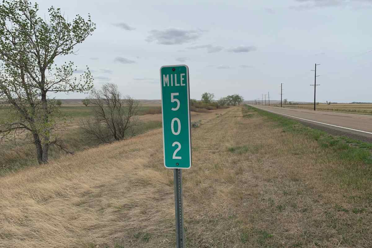
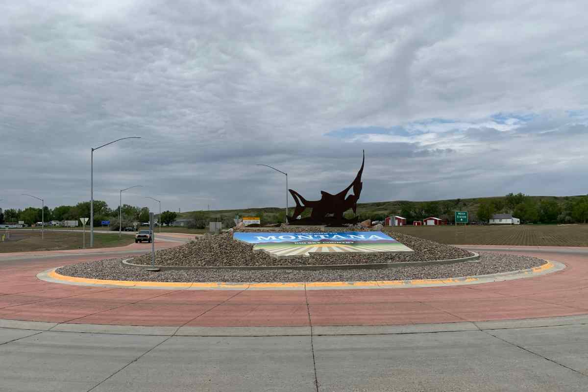
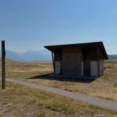
At the far western end of Highway 200, tucked down in the timbered Clark Fork River Valley, is Heron, Montana. It is the first real community you come to as you enter Montana from Idaho. Look for mile marker number 1 but don't be surprised if there is no "Welcome to Montana" sign. Somehow you just know you are there. Highway 200 towns like Thompson Falls, Lincoln, Lewistown, Winnett, Fairview, Jordan and dozens of other necklace communities strung out along its length cling to the roadway's asphalt like barnacles to a hull. They derive their commerce from all manner of Montana's economy, aligning their businesses, dwellings and shops to front the road. And it is here that you'll locate Montana's true personality.
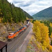
There was a time when nearly every western Montana community had small-scale sawmills. Come dark, rusty teepee burners would glow orange-hot and fill the neighborhood valleys with the sweet smell of burning wood. Just two decades ago, there were twenty-eight sawmills in western Montana. Today there are only four. Former times saw logging trucks rumbling down Highway 200 loaded with hulking saw logs. But timber has given way to tourism. As 200 snakes its way along the Clark Fork River, those bygone teepee burner vestiges of the hardscrabble logging era are hard to detect by most drivers unschooled in the state's history. Still, large expanses of ancient old-growth forests cloak the mountainsides, meccas for recreationalists like cross-country skiers, hikers, hunters and snowmobilers.
The tiny community of Lincoln stakes its economic claim on tourists and truckers with the usual blend of highway department, Forest Service and school district thrown in. This is snowmobile central in the winter, with as many snowmobiles buzzing up and down 200 as there are motor vehicles. Waylaid motorists often hang out there before tackling the icy Rogers Pass, awaiting the sand and snowplow trucks to forge a path. In the summer, it is a jumping off base for exploration of the massive Bob Marshall Wilderness, just to the north. "I always use Lincoln as a stopping place when I travel over Rogers Pass. You know, fuel, snacks, bathrooms, maybe lunch at Lambkins," says Ed Harper, a longtime produce truck driver who lives in Great Falls.
Spiraling off Rogers Pass on the Continental Divide, the highway spills out onto the broad reach of the central Montana plains, urged on by the relentless tailwinds. Only the lonely four-way stop signs at Bowman's Corner, somewhere around milepost 238, slow the pace eastward. More than just changed landscapes await the traveler entering central Montana. It is as if you need to open your arms and draw in the wide-open vistas. Black Angus cattle mingle freely with Minuteman missile silos. Elongated strips of wheat in the state's "golden triangle" produce bounteous crops that feed millions. And it is here that today's modern highway intersects with the now invisible historic Mullan Road, Montana's first official wagon road completed in 1862 between Fort Benton and Walla Walla, Washington. Somewhere near Sun River, 200's pavement crosses over the old one-hundred-sixty-two-year-old roadbed, mingling new and old travel routes.
The traditional wheat farming and cultured landscapes arise dramatically upon the approach to the central part of the state. "Producers" is the term used to describe farmers and ranchers in these parts. And it is here that a major paradigm shift is taking place as the surroundings morph into an almost surreal and frightening collision of industrial and agricultural. The emerging role of oil and gas extraction as another kind of "producer" has overwhelmed some communities. Quiet countrysides adjacent to the highway have been turned into clanging, gouging job sites that reek of wealth...while it lasts. Some see jobs, others see despoliation. Along 200, it is up close. It is all told in the towns—real Montana towns as in lumber towns, farming towns and oil field towns.
It is the Montana Highway Department, of course, that stitches all those communities together, facing the daunting 700-mile-long maintenance challenge. It is ice, snow, potholes, worn-off paint, patched-over bump-bump expansion joints and frost heaves, mile after endless mile. Ed Hanson has been "puttin band aids on tire ruts" for eight years with the Montana Department of Highways, working a section of blacktop out beyond Winnett, laying down fresh overlay with his crew. "What with budget constraints it's the best we can do. You might get a few more years out of your road, but...I dunno." His voice trails off as he waves in another load of mix for his paver. As summer gives way to winter, his crews will switch to snowplows and sanders. He's been seeing more summer travelers on 200 mixed in with heavy truck loads pounding the pavement enroute to the Bakken fields. "See more cyclists and tourists these days because, well, anyone can drive an Interstate." He gestures to the wide-open vista of prehistoric mesas and bluffs that surround his work site as if to support his observation.
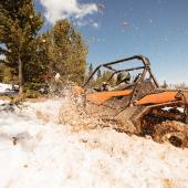
Motorcycle enthusiasts love 200. Its smooth curves, unsurpassed scenery and light traffic draw them from all over the nation. "Out here I feel like I'm my own boss," says Glenn Steinberg, from Seattle, Washington. Each summer he leaves his job as a dental technician, burns up his vacation time, leaves his wife and nineteen-year-old daughter behind and becomes a "road warrior" on his Harley Davidson. "Gotta watch it out here, though. Some of these remote towns don't have high octane gasoline blends and most modern bikes need that. Stopped at one small town and had to ask this guy, I mean a real logger, big dude, where I could get some premium grade. He just smiled and said there was a gas station down the road that had some 'booster' that would work, but I'm going, like, noooo, not for my bike."
When you say "just down the road" in eastern Montana, that means an hour's drive to the next town, which, if you are traveling east on Highway 200, might be Circle, named for the circular brand of the historic Mabry Cattle Company. Circle has a history that parallels most Montana towns on the plains: first, the open range cattle industry in the 1880s, then the homesteader boom and bust times of the nineteen teens, then oil extraction of the 1950s and the more recent "Bakken Boom." Circle has settled into comfortable rhythms now, greeting the incoming and outgoing traffic arising from the highway and its dozens of gravel road tendrils that bring farm and ranch feeder traffic to town to mingle with oil field workers. Thousands of feet under the highway's surface are ancient coal, gas and oil deposits awaiting the right technology to release their treasures or travails, depending on who you are and where you live. The polarization that divides attitudes toward natural resources is as deeply etched among Montanans along the highway as is the centerline dividing the asphalt itself.
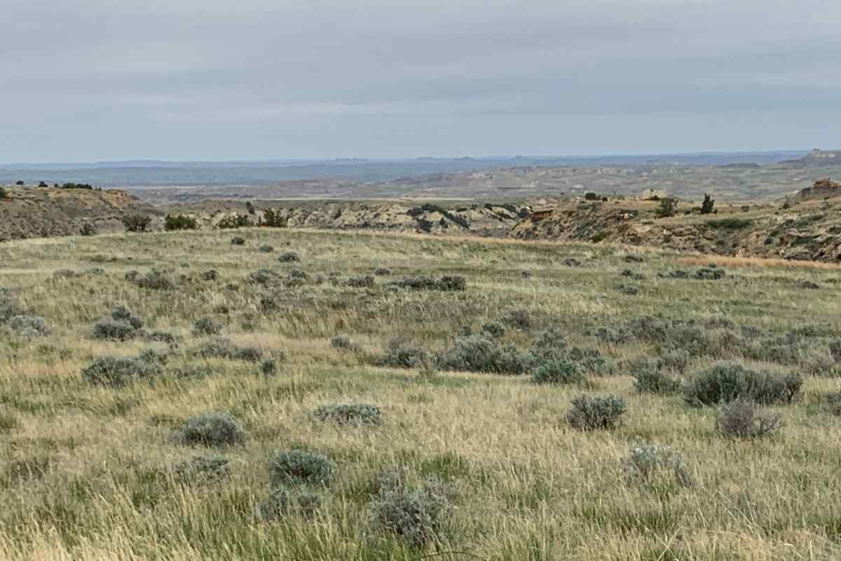
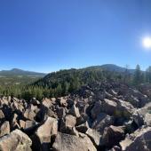
The next town may be Jordan, county seat of Garfield County. In such a place you can sit on your back porch and watch your dog run away...for three days. Where, like many proud rural communities, you might be greeted with a sign proclaiming "1993 Boys Class C Track Champions." There are more antelope in the county than there are people. Its population density, 0.274 people per square mile, is the lowest in the state. Suspended just below the expansive Fort Peck Reservoir to the north, the county could easily be characterized as flat and featureless unless you rose above ground level and carefully analyzed the terrain. Back from the highway, there are landforms of unthinkable shapes and colors. "Breaks" does bare description for the countless coulees and wooded draws that snake north into the reservoir. Ask any local farmer and rancher what lies beyond the highway, and you'll learn that that seemingly level land contains thousands of sweeps and swoops to render colorful character. And, in winter, blankets of shifting, drifting snow alter the horizons with dizzying contours and stack white stuff on the windward side of isolated buildings like a ski ramp.
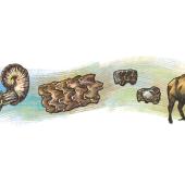
Motorists driving Highway 200 might not be aware that they are traveling across an ancient seabed with its muddy bottom layers of sediment and mudstone shelves laden with the skeletons of primordial seagoing animals. Or, if geology is your thing, consider the last great Ice Age, 12,000 years ago, give or take a few thousand, that also shaped the earth of central Montana. The heavy ice forced the channel of what would become the Missouri River to change directions. It gave geologists kames, eskers and pothole lakes—stock ponds for cattlemen and scenes of indescribable landforms laced with prehistory. This is dinosaur country on an epic scale.
Alongside Highway 200 is the perfect blend of tourism and agriculture, Montana's two largest industries. Outside of any windshield can be seen cattle of all breeds and colors at just about anywhere along its length. If you are counting noses, that translates to 1.14 million people to 2.12 million cows. Folks along the highway are also seeing increasingly larger elements of "cultural tourists" who have targeted Montana for its natural and historic values, and that translates into streams of tourism revenue.
Then, at the far eastern end of Highway 200, atop the Bakken oil field, is the fulfillment of the boom-and-bust cycle seen historically in the state and now played out bigger than ever. Towns at the eastern end of 200 were being morphed into west Texas without the drawl...until recently. Right on time, the Bakken boom found its bust, at least for the time being. Once the boom's oil drilling pads were punched in, the Bakken field has settled into an easier rhythm as its drilling rigs slowly pulse up and down sucking ancient crude from thousands of feet down. Still, evidence of the Bakken are everywhere alongside 200, from the feeder roads leading to drill pads to newly paved streets and roads in Sidney and Fairview where, its journey over, the highway finally pulls into North Dakota. There, at two roundabouts, the route symbolically feeds its traffic into that of another state.
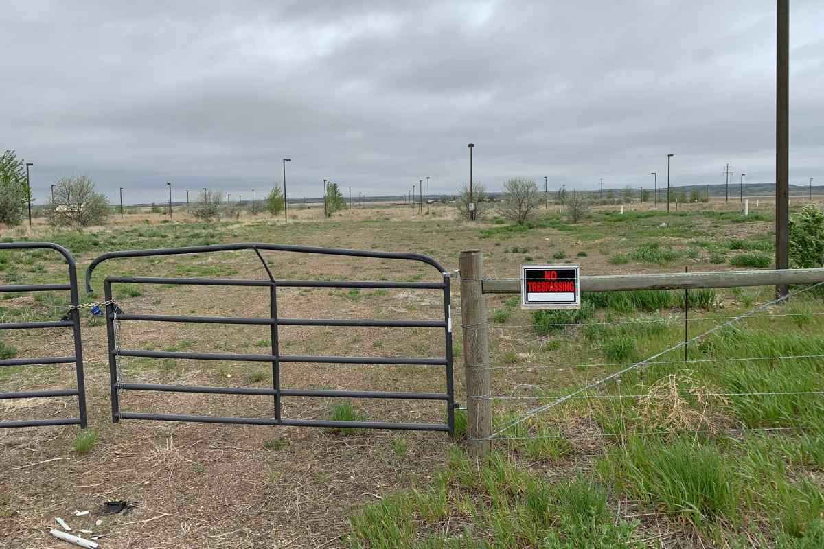
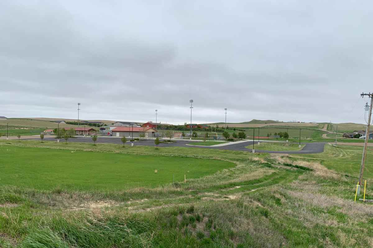
Even in tiny Lambert, Montana, there is a petroleum boom-built football field that would rival most AA high schools. It has paved and lighted parking lots, well-watered turf field, night lights and spacious stadium seating—all for six-man football. District Clerk Sammie Nelson, who was born and raised in Lambert, points out that the state legislature, "a few years back," was directing oil revenue tax money back to small rural Bakken districts. "And we were very fortunate to receive the funds for the sports facility. We share it with other local schools around the region for sports and civic events." Gone now, though, are many of the "man camps" that once housed thousands of workers who constructed miles of access roads, drill pads and oil transfer stations. Today, Highway 200 passes by deserted man camps outside of Sidney as if they are the modern-day ghost towns.
Just about anywhere in Montana you can see ball caps and T-shirts that say "406". They refer to Montana's unique telephone area code that covers the whole state, a point of deep pride to its residents. Similarly, you will find bumper stickers, coffee mugs, shirts and window decals that simply say "MT-200" and everyone knows the significance. Interstates? Sure, if you want to whiz by the real Montana. Otherwise, take the journey.


- Reply
Permalink